
Duval County ZIP Coverage
The list below groups common delivery codes by the Duval County areas they are most often used to describe. USPS does not publish a stable official neighborhood-by-ZIP boundary table, so neighborhood labels are guides rather than hard borders. Exact post office station names and cross-county edges should be checked for the individual address.
| ZIP | Areas covered | Post office or use | Boundary note |
|---|---|---|---|
| 32201, 32202 | Downtown and core | Delivery and PO-box use | Confirm delivery type |
| 32204, 32205, 32210 | Riverside, Avondale, Murray Hill, Westside | Neighborhood delivery | Neighborhoods cross edges |
| 32206, 32208, 32209, 32218 | Urban Core and Northside | Mixed delivery areas | ZIP does not show tax district |
| 32207, 32216, 32217 | San Marco, Southside, Mandarin approaches | Broad delivery zones | Many subdivisions |
| 32211, 32225, 32233 | Arlington, East Arlington, Atlantic Beach area | Jacksonville and Beaches labels | Check municipality |
| 32224, 32246 | Beaches, Southside, UNF corridors | Mixed postal geography | City label can mislead |
| 32227 | Naval Station Mayport and Mayport | Military or special delivery | Access and delivery conditions vary |
| 32234 | Far Westside and Baldwin vicinity | Edge delivery | Verify county |
| 32244, 32222 | Southwest Jacksonville and Argyle-Oakleaf approaches | Growth corridors | Branding is not a boundary |
| 32250, 32266 | Jacksonville Beach and Neptune Beach | Municipal delivery | Separate cities inside Duval |
| 32219, 32220, 32221, 32254 | Northwest and Westside | Industrial, rural, and suburban areas | Use parcel jurisdiction |
| 32223, 32226, 32257, 32258, 32259 | Mandarin, Northside, coastal, southeast corridors | Edge delivery | 32259 reaches St. Johns County |
| 32203, 32231, 32232, 32235, 32236, 32238, 32239, 32240, 32241, 32245, 32247, 32099 | PO-box, unique, or special use | Not standard neighborhood delivery | Not a resident roll |
Other common Duval County delivery codes include the Jacksonville series from 32201 through 32277, with gaps and special-use codes. Treat any grouped list as a starting point. A single house can sit near a postal edge, and some codes extend beyond the county.
Duval ZIP Codes at the Beaches
Jacksonville and Duval County consolidated in 1968, but Jacksonville Beach, Atlantic Beach, Neptune Beach, and Baldwin retained municipal governments. That makes the Beaches a key test for a Duval County ZIP code directory. Code 32250 serves Jacksonville Beach, 32266 serves Neptune Beach, and 32233 includes Atlantic Beach postal geography. A Jacksonville mailing label nearby does not settle which local clerk or department keeps a permit or code case.
Use three checks for three different facts. USPS verifies how mail should be addressed. The City of Jacksonville GIS and municipal boundary information identify local jurisdiction. The Property Appraiser parcel card identifies the assessed site, tax context, and stable Real Estate number. Do not swap one answer for another.
Verify Duval County ZIP Delivery
The official USPS ZIP Code Lookup is the first check when a code is missing, old, or tied to a city name that seems wrong. Search the full street address when possible. A city-and-state search can return codes associated with that mailing name, but it cannot establish the legal city limits or reveal everyone within the code.
The source screen pictured below is the USPS city-and-state lookup assigned to this Duval County ZIP code directory. It is a delivery tool, not a county parcel map.
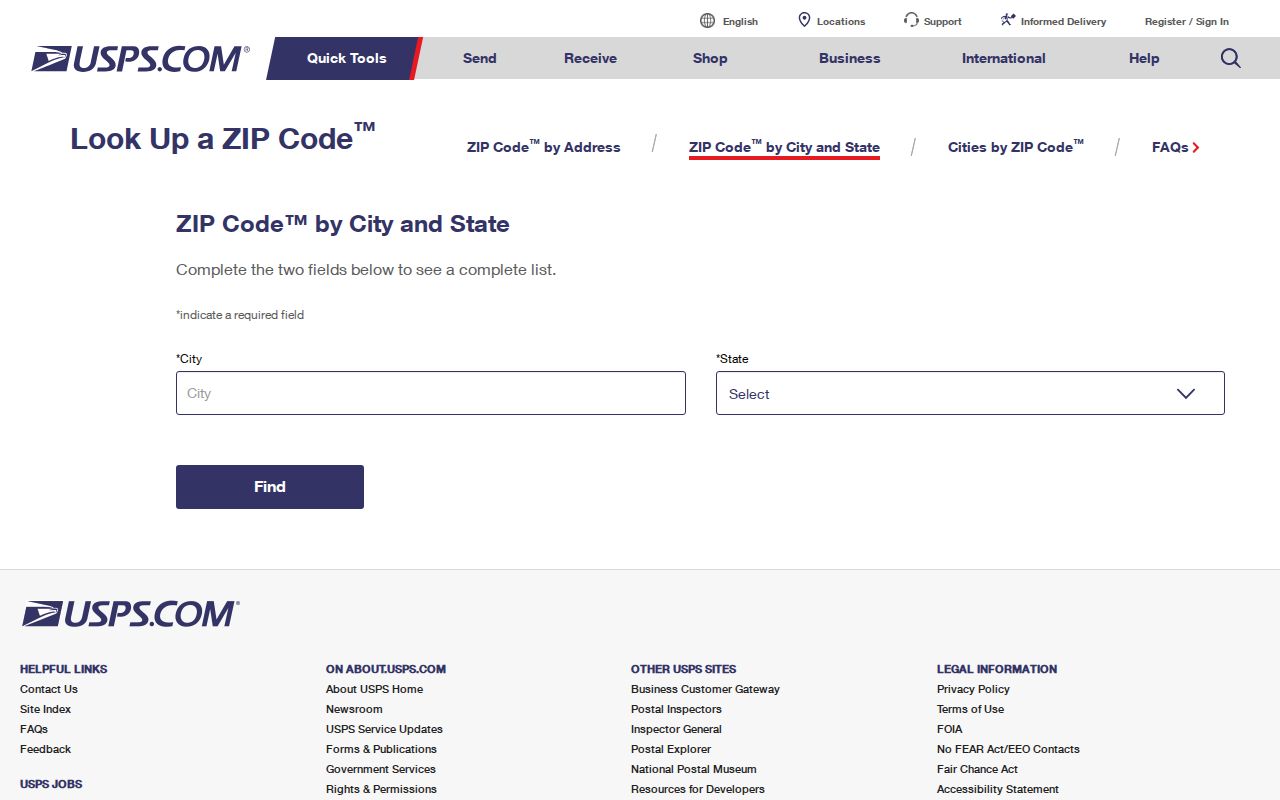
Once USPS confirms the address, carry the exact spelling and code into the county map or property search instead of relying on a neighborhood nickname.
Search Duval Property by ZIP
The Duval County Property Appraiser basic search accepts Street Number, Street Name, Street Type, Street Direction, Unit Number, City, and ZIP. Leaving City, unit, direction, or ZIP blank can recover a parcel when an edge or abbreviation causes a false miss. The Real Estate number then becomes the stronger key.
Advanced criteria accept a five-digit ZIP, and multiple ZIP values can be entered comma-separated with no spaces. Other filters include subdivision, map tile, property use, land use, year built, value ranges, and homestead status. Search results show the RE number, owner, and location. An export can include the owner's mailing address, which may differ from the situs, or assessed site, address.
| Portal field | Type or format | How it helps |
|---|---|---|
| ZIP | Five digits; multiple values comma-separated | Narrows the advanced roll |
| Street Number | Text; wildcard patterns supported | Targets an address or number range |
| Street Name and Type | Separate text fields | Reduces same-number matches |
| City | Optional | Can be left blank at municipal edges |
| RE Number | Format 123456-0000 | Stable local parcel key |
| Subdivision | Multi-select advanced field | Separates local plats within a code |
| Include mailing address | Export option | Shows owner correspondence separately |
Homestead can support owner occupancy, but it does not list a whole household. A mailing address may locate an owner who lives elsewhere. The parcel roll therefore supports property and owner research, not a complete count of residents.
Find Duval Residents by ZIP
A wide ZIP query can return too many parcels or mix municipal areas. Work from postal certainty toward a smaller official unit. This keeps a code useful without pretending it is a household directory.
- Verify the complete mailing address with USPS, including the five-digit code.
- Enter the code in the Property Appraiser search and narrow by street, subdivision, or property type.
- Open the parcel detail and record the situs address, owner, municipality, and full RE number.
- Check the Duval Property Map to confirm parcel location and jurisdiction.
- Move to the Duval County street directory when the goal becomes a named street rather than a whole postal zone.
A broad export can be useful for civic or family research, but results still identify owners and parcels rather than every person who lives there. Apartments, renters, minors, and protected addresses will not form a complete resident list.
Map Duval County ZIP Results
The Duval Property Map offers Parcel, Address, Street, and EDA search modes. Parcel filters include Real Estate Number, owner, property address, municipality, and ZIP Code. The municipality choices are Atlantic Beach, Baldwin, Jacksonville, Jacksonville Beach, and Neptune Beach. Results can open Details, My Neighborhood, an image, or Street View, and can export to Excel.
Broad searches are capped at 1,000 results, so one ZIP may need a second filter. Map labels can show RE number or owner. Tools include query, print, measurement, sales at close zoom, and data download. Only the Topographic basemap is described as maintained with approved City GIS changes. Verify zoning and land-use facts with their source departments.
Note: A map layer may lag or simplify a boundary, so use the parcel detail and responsible department for a final jurisdiction claim.
Duval ZIPs in Voter Data
The Florida Division of Elections provides a monthly statewide voter extract containing active and inactive voters from all 67 counties as of the prior month-end. It omits confidential, exempt, Address Confidentiality Program, and preregistered-voter information. The file includes public registration and participation fields, but never ballot choices. It is not the same as the personal voter-status verification form.
The monthly voter extract request requires contact information and a mailing address. The tab-delimited ASCII file is sent on disk by mail or picked up; it is not emailed or downloaded. A request must arrive at least 24 hours before scheduled monthly production, and a standing annual request expires on December 31.
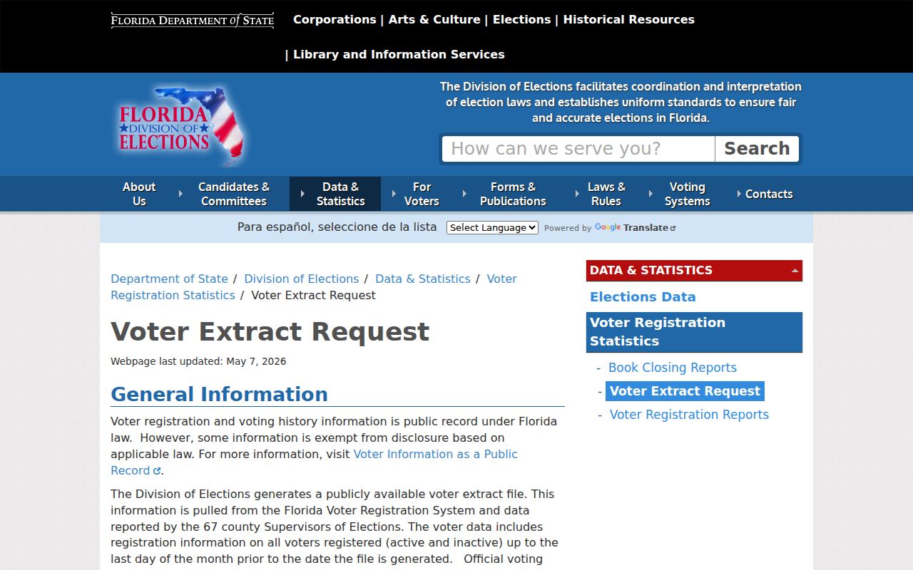
The pictured official request route can support ZIP-level analysis after delivery, subject to the omissions and privacy limits built into Florida voter law.
Special Duval County ZIP Codes
Not every code represents a set of neighborhood streets. Codes such as 32203, 32231, 32232, 32235, 32238, 32245, and 32247 are associated with PO-box, unique, or special use. Code 32099 is a Jacksonville unique or organizational code. Such codes belong in a complete Duval County ZIP code directory, but should not be converted into claims about residential population.
- ZIP
- The five-digit USPS routing code for delivery, which is not a legal boundary.
- ZIP+4
- A five-digit code plus four digits that narrow delivery to a segment, box group, or organization.
- PO-box ZIP
- A code used mainly or only for post office boxes rather than street delivery.
- Unique ZIP
- A code assigned to a high-volume organization or special destination.
- Carrier route
- A mail-delivery path within a ZIP, not a neighborhood or parcel boundary.
Duval ZIPs Versus City Limits
Code 32259 is the clearest county-edge warning because it reaches into St. Johns County. Code 32234 extends beyond the core Jacksonville context near Baldwin, while 32233, 32250, and 32266 intersect the separate identity of the Beaches municipalities. Growth labels around Argyle, Oakleaf, Mandarin, and southeast corridors can span postal edges as well.
Florida parcel RE numbers and legal descriptions are stronger land keys than a ZIP. The situs address identifies the assessed site; the mailing address is where owner correspondence goes. A legal description ties the parcel to a plat, lot and block, or survey description. Historic research may also need maps to bridge a renamed or renumbered street.
The Florida Department of Corrections search assigned to this page illustrates a statewide result source that may display location data but does not define postal boundaries. Use it only for its official corrections purpose.
View the Florida Department of Corrections Offender Search.
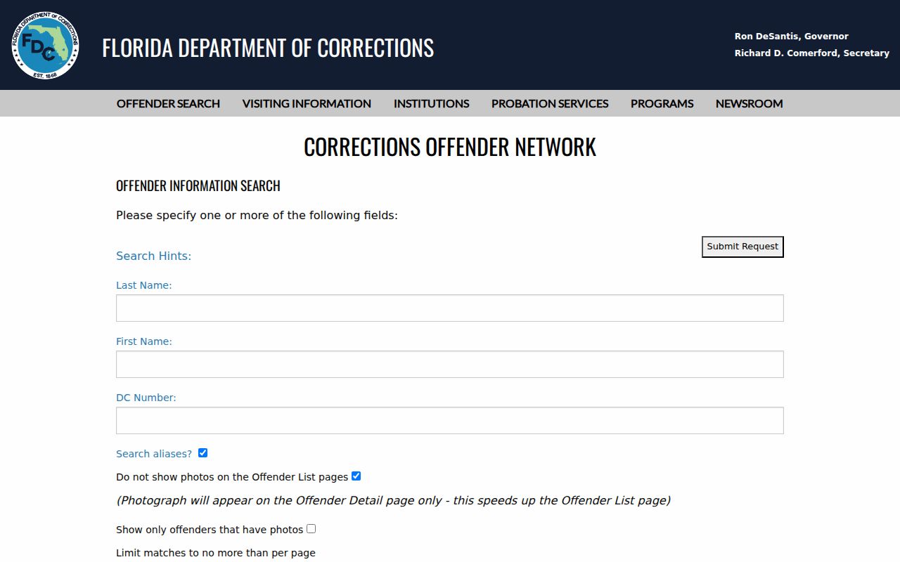
The screen reinforces the core rule: verify any returned address through USPS and local parcel tools before assigning it to a Duval County postal area.