
Duval County Neighbors Source Map
Start with geography, not a list of names. The Duval Property Map can show the target parcel and each lot that touches it. Separate parcel cards then identify owners, mailing addresses, legal descriptions, and possible homestead exemptions. That is useful evidence about ownership. It is not a roll of all nearby residents. A renter may never appear, a multifamily building may show an LLC, and an owner may receive tax mail somewhere else. Historic reverse directories give a dated publisher snapshot, while voter data and association contacts follow their own access limits.
| Source | What It Shows About a Block | Access |
|---|---|---|
| Duval Property Map | Parcel shapes, adjacency, RE numbers and selected map layers | Free map clicking, queries and buffer tools |
| Property Appraiser cards | Owner, situs, mailing address, legal parcel and exemption data | Free individual records |
| Florida voter data | Lawfully public registration fields by geography | Verification or request; exempt fields removed |
| Neighborhood associations | Public officers, service area and official contact | City or association page; member roster usually private |
| Reverse directories | Publisher-listed occupants at numbered addresses in one edition | Jacksonville Public Library and databases |
Keep the owner name, physical site address, and tax-mail address in separate columns. A matching homestead exemption supports owner occupancy, but never identifies every household member. The safest description is “record owner” unless another official source independently supports residence. For a full chain along one named road, switch to the Duval County street directory; the block method stays focused on the few parcels around one point.
Select Nearby Duval County Parcels
The live Duval Property Map supports Parcel, Address, Street, and EDA search modes. Parcel filters include Real Estate Number, owner, property address, city, and ZIP Code. The city list reflects Jacksonville, Atlantic Beach, Baldwin, Jacksonville Beach, and Neptune Beach, an important result of Duval's consolidated yet still divided civic geography. Labels can display an RE number or owner. From a result, open Details, My Neighborhood, imagery, or Street View. Exports are capped at 1,000 results, so a block search should use a narrow place or drawn area.
The Query Tool can select Parcels, Streets, or Address Points and combine fields with operators such as equals, LIKE, and NOT LIKE. Select By/Buffer is the strongest nearby-parcel feature. Choose a parcel, address point, or street; set a distance and unit; then draw a point, line, polygon, or freehand polygon. The displayed buffer defines the map area. It still does not define a social neighborhood or prove who lives there.
Note: The official Topographic basemap is maintained with approved city GIS changes; commercial basemaps may lag behind current Duval County records.
Map Duval County Neighbors Nearby
Use a repeatable path from address to adjacent parcels. This avoids broad owner lists and keeps each claim tied to one official record. The Property Appraiser's basic search can recover an address even when a direction, unit, or suffix causes a false miss. Once the target RE number appears, move to the map and inspect only the parcels that touch the subject lot or fall inside a small, stated buffer.
- Find the exact site in the Duval Property Map. Confirm its RE number and parcel boundary before expanding the view.
- Click each touching parcel or run Select By/Buffer around the target. Record the RE number before opening its details.
- Compare situs with the owner's mailing address. Note a homestead exemption as support for owner occupancy, not as a list of the household.
- Add only the map layers needed for context, such as zoning, flood, council, precinct, planning, or imagery, and verify the result with the responsible department.
The flow is simple: address to parcel, parcel to touching lots, lots to separate owner cards, then map layers for context. Zoning and flood overlays describe land, not occupants. Likewise, a permit names an applicant or contractor and does not prove residence. If a parcel card names a company, use the official business record only to understand the ownership entity.
Read Duval Neighbor Owner Names
LLCs and institutional owners are common for multifamily or investment parcels. Sunbiz can show an entity's status, principal or mailing address, registered agent, officers, and annual-report images, but none of those fields proves who occupies the nearby building. DBPR can confirm a regulated business or professional license by name, number, city, county, type, or status. MQA provides primary-source health credential information. These tools are best used to explain an owner name, not to turn a business contact into a resident claim.
The DBPR license search is one official route for checking a regulated credential connected to a public business name.
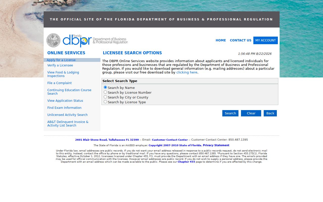
A license result may show status, expiry, discipline links, and an address of record. Keep that professional address separate from the parcel's site address.
The MQA practitioner search offers Board, Profession, License Number, name, city, county, ZIP, and status fields.
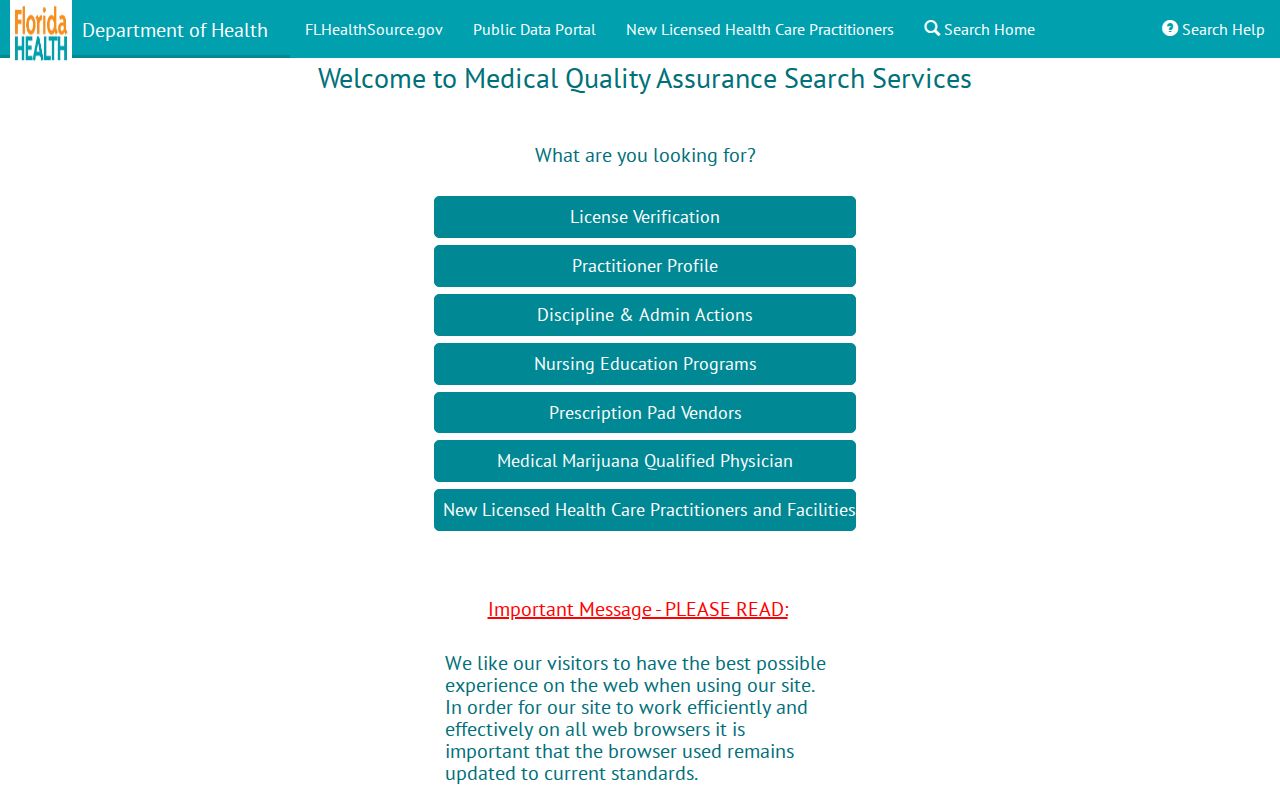
An exact credential can separate people with the same name. It remains a work-related public contact, not a household directory entry.
Duval Neighbor Voter Data Limits
Florida's public status tool verifies an individual with first name, last name, and date of birth. It is not meant to browse all block residents on a Duval County street. A match can return registration status, precinct, polling place, districts, sample ballot, and participation history. Participation means a ballot was cast, never the choices on that ballot. Absence proves little because minors, noncitizens, unregistered people, removed voters, and protected records do not appear.
For a geographic voter-file request, identify the desired fields, area, election or history period, and delivery format. The state monthly extract contains active and inactive voters from all counties, omits confidential, exempt, Address Confidentiality Program, and preregistered-voter data, and is mailed on disk or picked up. The Division of Elections extract page explains that access channel. Florida law exempts Social Security, driver-license or state-ID, registration-source data, preregistered youth data, and limits signatures.
Note: A public voter record can support a dated registration link, but it cannot establish every person who lives on a Duval block.
Contact Duval Community Organizations
Jacksonville organizations range from formal homeowners associations to voluntary civic groups and city-recognized planning bodies. Public officers, service areas, meeting details, and business contacts can help a newcomer reach the right group. Member lists should not be presumed public or copied into a household index. Beaches municipalities and Baldwin also have their own civic geography. Congregation, block-watch, and modern club rosters remain private unless the organization has intentionally published them.
City neighborhood resources
Use an official Jacksonville organization listing or department contact to identify the group serving a mapped block.
Local civic association
Ask for the service area, public officer, meeting schedule, or general contact. Do not request a private member roster.
Jacksonville Public Library
Use reverse directories, newspapers, and local collections for a dated historic view of the same block.
Voluntary public contact is the key distinction. A community group's officer page tells readers where to ask about meetings or services. It does not say which people nearby belong to the group.
Trace Past Duval County Neighbors
A reverse, or criss-cross, directory is arranged by address instead of only by surname. When an edition exists, it can show a publisher-listed occupant or telephone at each numbered address. Search the target and adjacent numbers in the same edition, then compare the next available year. Jacksonville Public Library's genealogy resources also connect to HeritageQuest, in-library databases, historic newspapers, and Sanborn maps. Sanborn sheets show building footprint, use, and historic numbering, not the people inside.
Historic blocks can cross several breaks. The 1901 Great Fire changed buildings and addresses, while 1968 consolidation changed government geography. Postal boundaries create a third mismatch. Use parcel legal descriptions, plats, and dated maps to bridge them. A historic directory is evidence for one date, not a claim about current nearby residents.
Compare Duval Neighbor Lookup Sources
Official rolls and commercial neighbor tools answer different questions. Official records are narrower, tied to a custodian, and easier to correct at their source. Commercial products may combine bought and public data, merge similar names, and show old addresses. They should be treated as leads only. No category can lawfully fill the private gaps left by renters, protected residents, utilities, delivery accounts, or unpublished household relationships.
| Source type | Strongest use | Main limit |
|---|---|---|
| Official parcel and GIS records | Boundaries, parcel IDs, owners, and map context | Ownership is not complete occupancy |
| Official voter or license data | A specific dated registration or credential | Protected fields and nonparticipants are absent |
| Community contacts | Public group service area and officers | Member rosters are usually private |
| Commercial compilations | Possible lead for later official checks | Stale data and mistaken identity merges |
Request Duval Block Records
Florida Public Records Law allows a focused request for existing nonexempt records. For block-level voter data, state the geography, field set, date or election period, and preferred format. The custodian removes exempt fields and may charge duplication or an extensive-use service fee. Ordinary chapter 119 copy limits may reach 15 cents for one-sided and 20 cents for two-sided pages, with up to one dollar for a certified copy unless another law controls. There is no single statewide three-, five-, or ten-day response deadline.
The Florida Public Records Law text sets the access and redaction framework.
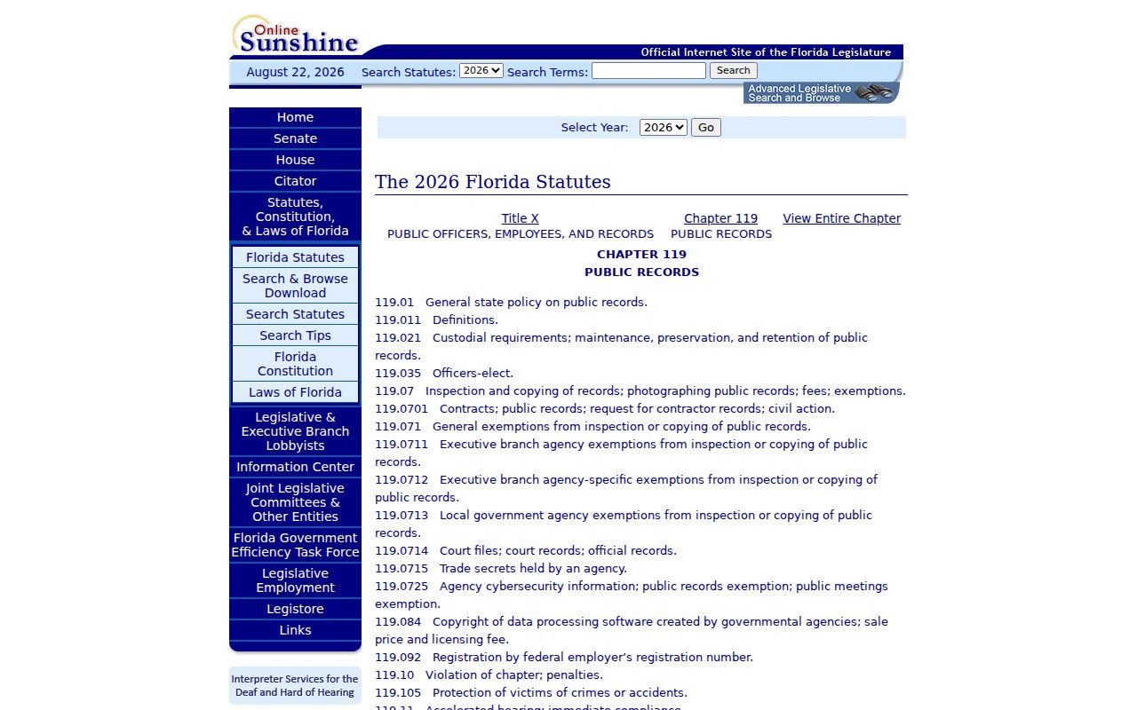
A custodian must redact exempt parts and provide the rest. On request, the office must identify the legal basis for a deletion. Keep requests narrow and avoid asking for data that would expose a protected person.
Vital Records Are Not Neighbor Lists
Vital records belong in family-history or event research, not block browsing. Florida birth certificates less than 125 years old are confidential. Death records without cause are broadly available, while cause is restricted for 50 years except to eligible people. Marriage and dissolution summaries follow their own public-copy routes. The distinction matters when a historic directory name needs an event check, but no certificate should be used to fill in a current household map.
The Florida vital-record forms library identifies the proper application and evidence for each record.
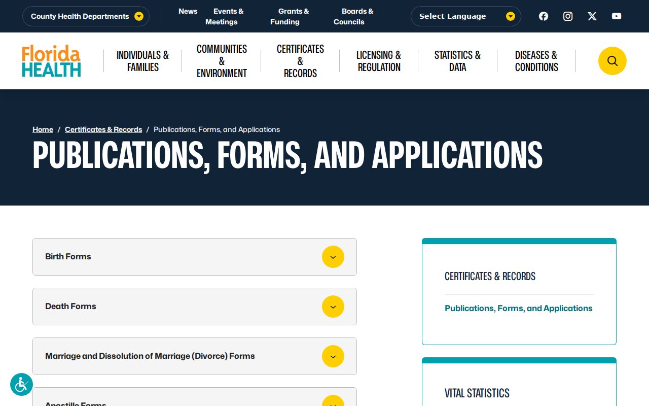
Use a certificate only for the event it proves and respect eligibility rules. The Bureau of Vital Statistics is in Jacksonville, but local proximity does not change state confidentiality law.
Protect Duval County Neighbors
Renters, minors, household relationships, utility customers, and delivery data stay outside the parcel map. Florida's Address Confidentiality Program supplies a substitute mailing address and forwarding for qualifying victims of domestic violence and stalking. Section 119.071 adds address exemptions for certain protected people. The program does not wipe every older record, so participants work with each custodian and avoid disclosing the actual address.
Public access is not permission to watch or pressure a person. Do not bypass authentication, copy a private roster, publish sensitive birth data, or contact someone through a protected address. Errors should be corrected with the agency that made the record, not repeated through downstream lists.
Lawful use. Research Duval County neighbors only for lawful personal and civic purposes. Never use a map, roll, or contact to stalk, harass, threaten, or intimidate anyone.